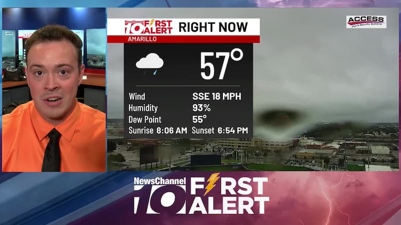
Remnants of Vance arrived early this morning, bringing widespread and steady rain across the Panhandle. Soaking rain will continue for the remainder of the day, so keep the rain gear in mind if you have any plans. The rain-cooled air will drop highs down to the upper 50s and low 60s this evening.
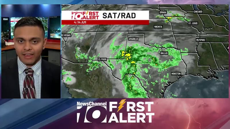
We’ll put that moisture to good use today as rain showers move in from the south, thanks to an area of low pressure and the remnants of a tropical cyclone. Steady showers are expected across much of the Panhandle throughout the day. While the overall flooding threat remains low, some localized street flooding is still possible in low-lying areas.
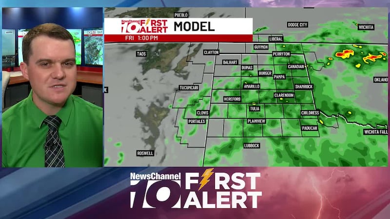
Shelden has the latest on rain chances kicking into gear starting overnight into Friday!

Fog is clearing up, but our skies remain mostly cloudy. Those clouds will decrease early this afternoon, leading to some sunshine briefly late this afteroon. Clouds will increase this evening, which will lead to cloudy skies late, and isolated showers and storms will be possible. Despite the building moisture, temperatures will remain slightly above normal, with highs in the mid 70s.

Fog will burn off by mid-morning, but cloud cover will gradually increase throughout the day. This will help keep highs a few degrees cooler than Wednesday, as temperatures peak in the mid 70s. Winds will be on the lighter end as well. Later tonight, our next rainmaker will begin to move into the Panhandle. Scattered showers will impact our southern counties after dark, with the bulk of the moisture arriving on Friday.